By: Tony Mayse
Author Tony Mayse, perhaps more in love with Oklahoma climbing than any other, captures the feeling, the past and the present in a wonderful vibrant fashion. It's been a long time coming, but now Oklahoma has a beautiful, thoughtful, full-color tome that describes not only the routes of the Wichita Mountains Wildlife Refuge and the historic Quartz Mountain, but also taps into the "other granite state's" rich climbing history. Additionally, Oklahoma Rock includes a Quartz Bouldering chapter for the cordless crowd. A visually stunning guidebook for a visually stunning state that will make Oklahoma natives proud and out-of-state visitors envious.
Thoroughly researched and meticulously edited, Oklahoma Rock provides more than just written description. Mayse includes area maps, as well as GPS coordinates expressed through QR codes for easy route finding.
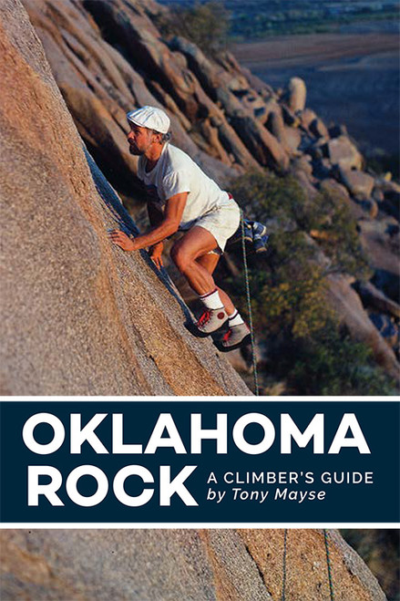
The limited edition cover gives a nod to legendary climber and Oklahoma climbing pioneering, Dough Robinson cruising up fine granite in his old-school rock shoes. Less than 500 copies printed.
Oklahoma Rock includes a free 2-year subscription to the digital edition (you will receive a link and a license within 48 hours). More details here.
2 Reviews Hide Reviews Show Reviews
-
Oklahoma Rocks
This is my second copy of the book. My first one is well used and wanted a nice clean back up. Highly recommend this book. And yes, the author still climbs out in the Wichitas. Saw him at Lost Dome about a month ago.
-
very informative nice photos
I'm still a newcomer to rock climbing outdoors and I really enjoyed this book. It was easy to find the information I was looking for and the full color photographs were perfect. We had a little trouble locating some of the locations based solely on the description of the area... mostly because it was off trail and not visible from the trail. Probably my fault for not getting the gps coordinates prior to going. I wish they had a little more info for newbies.


